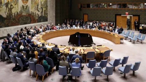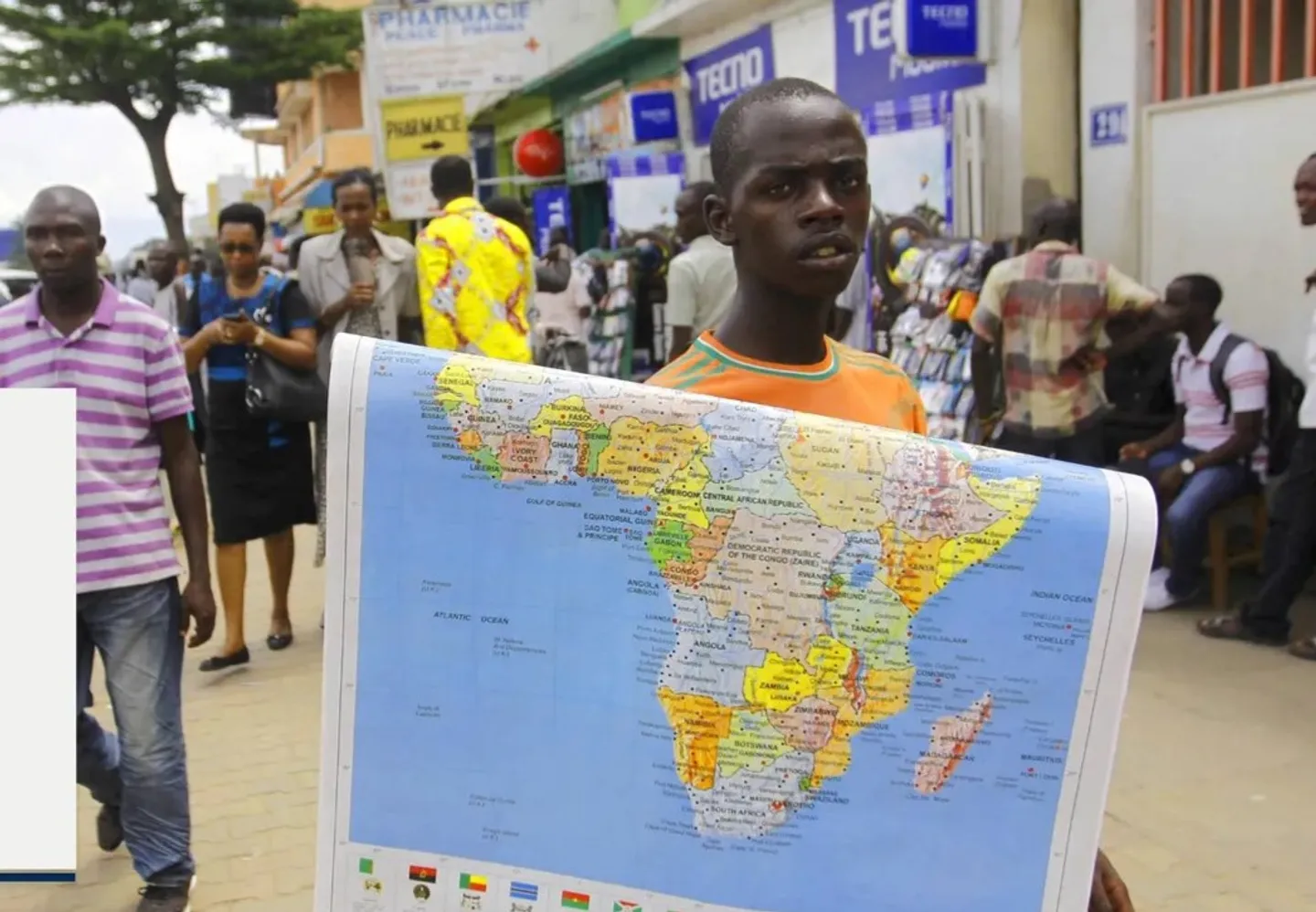
Africa is taking its case for a more accurate place on the world map to the United Nations, with the General Assembly set to vote on Friday on an African-led resolution challenging the centuries-old Mercator projection.
Backed by the African Union, the draft resolution urges governments, schools, international organisations and technology companies to use “Equal Earth” and other equal-area projections when showing the relative size of continents.
At the heart of the campaign is the argument that Africa looks smaller on many of the world's most familiar maps than it actually is.
Togo has emerged as a leading force behind the initiative, dubbed “Correct the Map.”
Equal Earth map
“This campaign is not a Togolese initiative. It’s for the African continent. We are asking the member states to move from the Mercator map to the Equal Earth map,” Dussey tells SABC News.
Experts say the Mercator projection was created in the 16th century primarily to aid navigation. But because it converts the spherical Earth into a flat map, it increasingly distorts the size of landmasses the farther they are from the equator.
That means countries and territories in northern latitudes can appear dramatically larger than they are, while Africa and other regions close to the equator appear relatively smaller.
The Equal Earth projection takes a different approach, preserving the relative area of continents while accepting other types of distortion that are unavoidable when depicting a globe on a flat surface.
Not replacing Mercator
According to the draft presented, the proposed UN resolution would not ban the Mercator projection or seek to replace it for navigation and other uses.
Instead, it calls for wider use of equal-area maps in education, public communication and digital platforms, particularly when the purpose is to show the true relative size of the world's continents.


The draft encourages schools and other educational institutions to use more accurate representations, urges international organisations and governments to adopt equal-area projections, and calls on technology companies to promote more accurate maps.
The campaign comes as African governments and institutions have increasingly pushed for changes in how the continent is represented internationally, arguing that perceptions of Africa have often failed to reflect its demographic, economic and geopolitical weight.